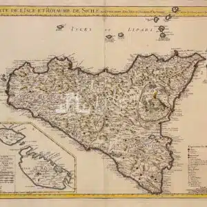
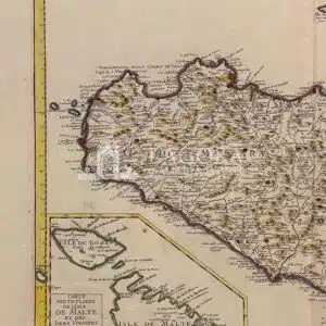
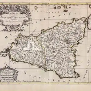
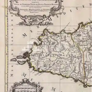
Carta della Sicilia edita a Parigi da Guillaume Delisle, detto anche Guillaume de l'Isle. Nei lavori cartografici di Delisle, non soltanto vengono rettificati gli errori tramandati dai predecessori, ma scompaiono anche quelle terre immaginarie che riempivano, nelle carte e nei globi, le zone ancora non esplorate. Delisle va considerato come uno dei più importanti riformatori della cartografia francese. Nell' angolo…
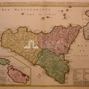
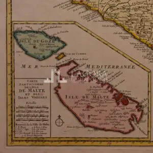
SOLD Insulae et Regni Siciliae Novissima Tabula… Carta della Sicilia edita ad Amsterdam da Joachim Ottens. Nell'angolo in basso a destra, entro semplice riquadro, è riportata la legenda e le scale grafiche. All'angolo opposto, in riquadro con margini graduati, viene raffigurata l'Isola di Malta. Bella colorazione evidenzia la Sicilia divisa nelle sue tre valli: Val Demone, Val di Noto, Val…
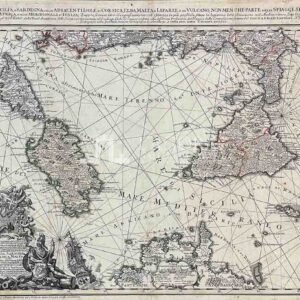
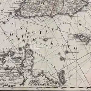
LI REGNI DI SICILIA, E SARDEGNA, COLLE ADIACENTI ISOLE DI CORSICA, ELBA, MALTA, E LIPARI, O DI VULCANO, NON MEN CHE PARTE DELLE SPIAGGE SETTENTRIONALI DELL' AFRICA, E DELLE MERIDIONALI D'ITALIA; Incisione su rame acquerellata a mano, calco cm 48,5x60, scala di 40 miglia italiane e 60 miglia; orientazione per mezzo di rosa dei venti e rombi, quadro graduato. Molto bello…
Bel cartiglio con la rappresentazione mitologica di Scilla e Cariddi. La Sicilia divisa nelle sue tre valli e province. Hubert Jaillot fu, insieme a Sanson e Duval, il più importante cartografo francese del '600. Fu socio dei figli di Sanson e quindi ripubblicò in formato e con stile diverso le carte precedentemente edite. Bell' esemplare con tutti i suoi margini…
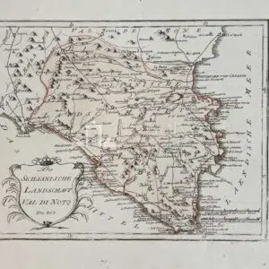
Carta geografica della Val di Noto, tratta dall'opera "Schauplatz der funf Theile der Welt nach und zu Anton Friedrich Buschings grosser Erdebeschreibung" pubblicata a Vienna tra il 1789 e il 1806. Lavoro monumentale comprensivo di ben 830 mappe, stampate su carta azzurra, incise in rame e colorate in epoca. Autore: Reilly, Franz Johann von Anno: 1791 Misure: cm 28 x 22,5…