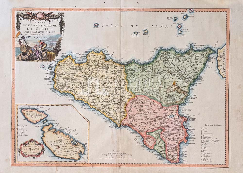
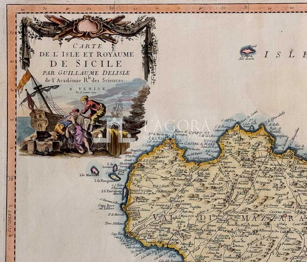
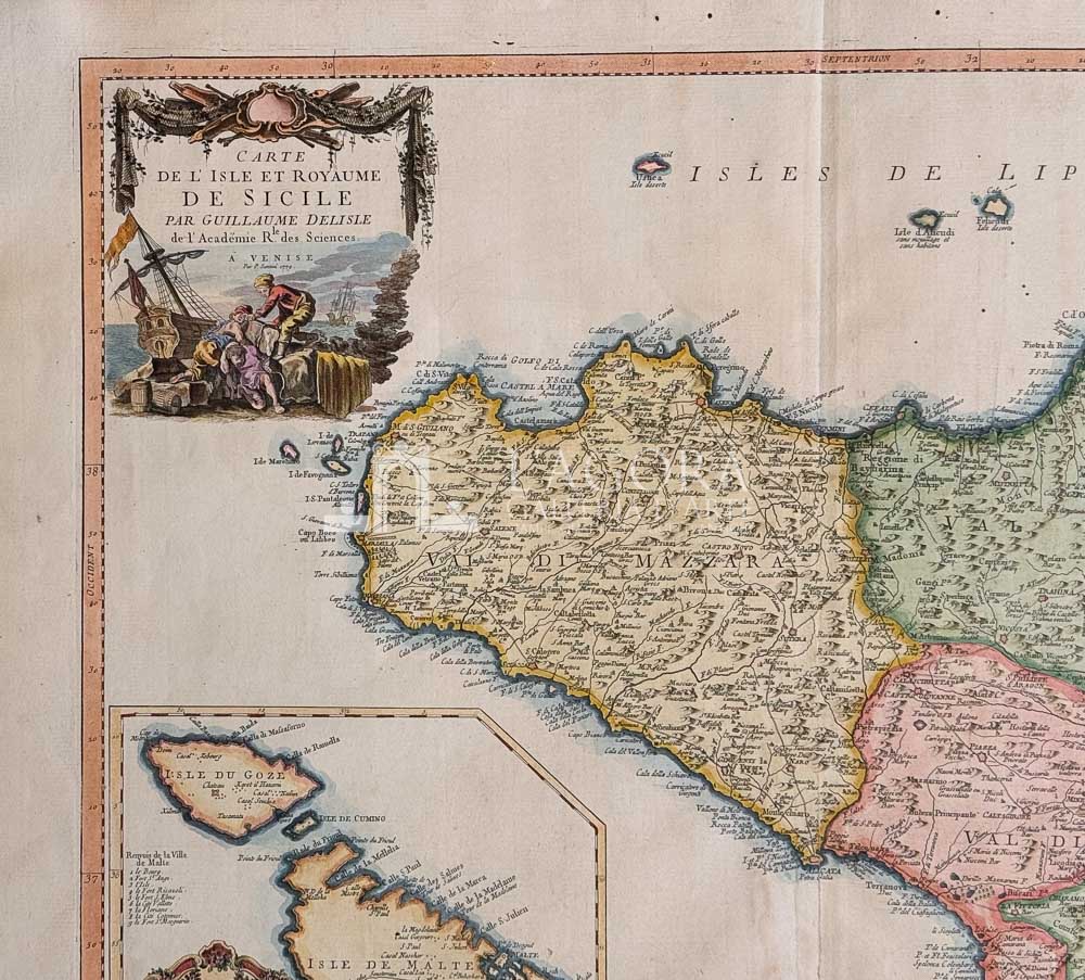
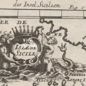
Carte de l’Isle et Royaume de Sicile
Map of Sicily published in Venice by Paolo and Francesco Santini.
In the lower right corner, within a simple framed cartouche, are the legend and graphic scales. In the opposite corner, an inset with graduated borders depicts the island of Malta.
A fine contemporary hand-coloring highlights Sicily divided into its three historic valleys: Val Demone, Val di Noto, and Val di Mazara.
Author: Joachim Ottens (1663 – 1719)
Year: 1725
Size: cm L 59,5 x H 50,5
Technique: Copper engraving, hand colored