SKU (sam-027) A Chart of the Sea Coast of Italy, Sicily and part of Barbary Categories , , Tags , , , ,

A Chart of the Sea Coast of Italy, Sicily and part of Barbary

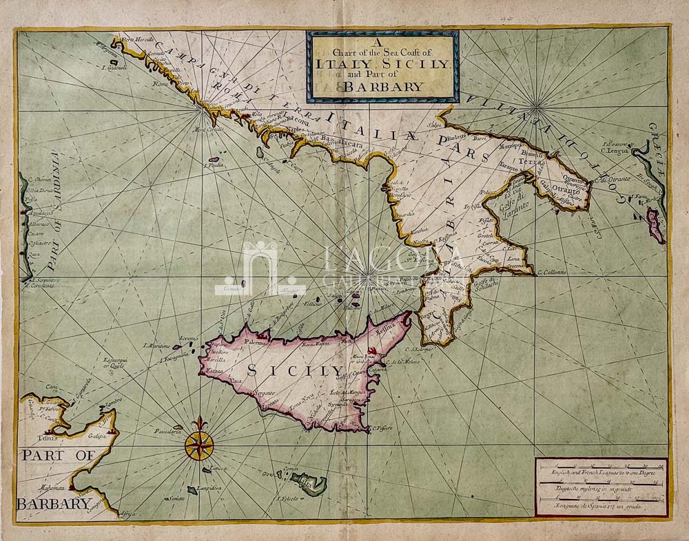
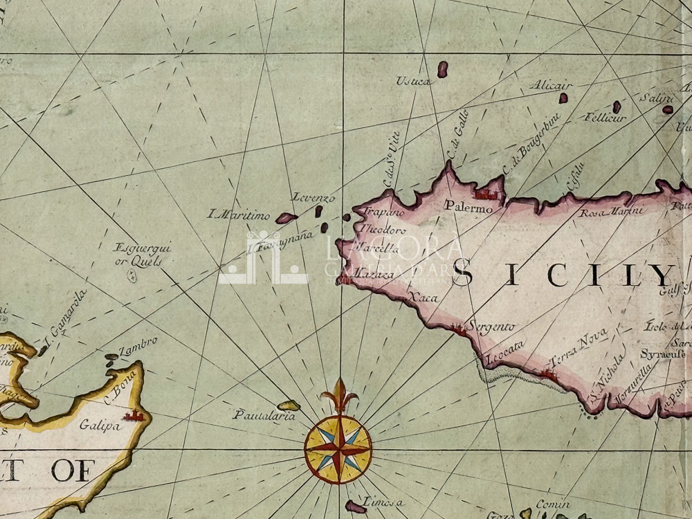
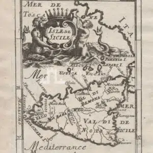
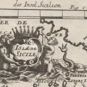
The map was published by the London chartmakers John Mount and Thomas Page and formed part of the celebrated maritime atlas The English Pilot.

The earliest versions of the chart were produced by Samuel Thornton around 1702–1707. Revised and updated editions continued to be issued throughout the eighteenth century, including notable editions published in 1750 and 1771.

Author: J. Mount and T. Page

Year: 1738

Size: sheet cm H 45 x L 57 

Technique: copper engraving, hand colored

This item is a one of a kind. Contact us for more information

Contact us

Shipping

Shipping times take between 5 and 7 working days. If the product is out of stock, it will take between 20 and 30 days.
Free shipping for purchases of at least €300
Read more

Right of withdrawal

The private buyer who buys a good online or at a distance can return it and get a refund of the amount paid, exercising the right of withdrawal within fourteen days of delivery and/or receipt of the goods.
Read more

SKU (sam-027) A Chart of the Sea Coast of Italy, Sicily and part of Barbary Categories , , Tags , , , ,

Art gallery in the heart of Taormina

THE HISTORY OF TAORMINA AND SICILY IN ART