Nautical sailing charts
SKU
(srm-c-020) Portolani
Categories Artisanal Reproductions, Artisanal Reproductions - Maps
Tags Catania, Lipari, Malta, Mediterranean Sea, messina, palermo, Portolani, stretto di messina, Syracuse, trapani
Nautical sailing charts
€40
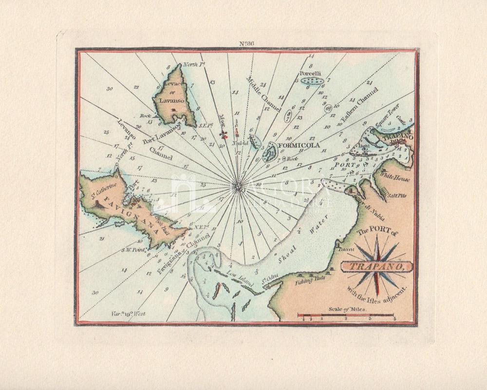
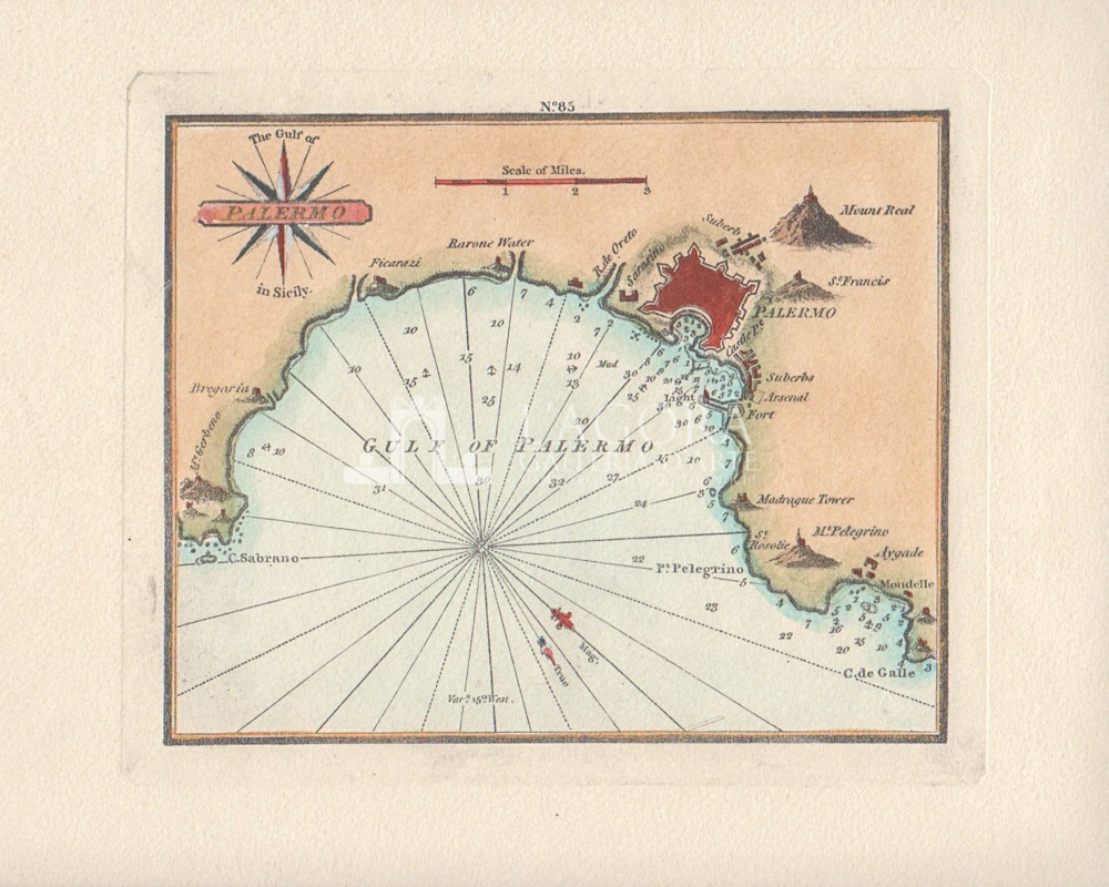
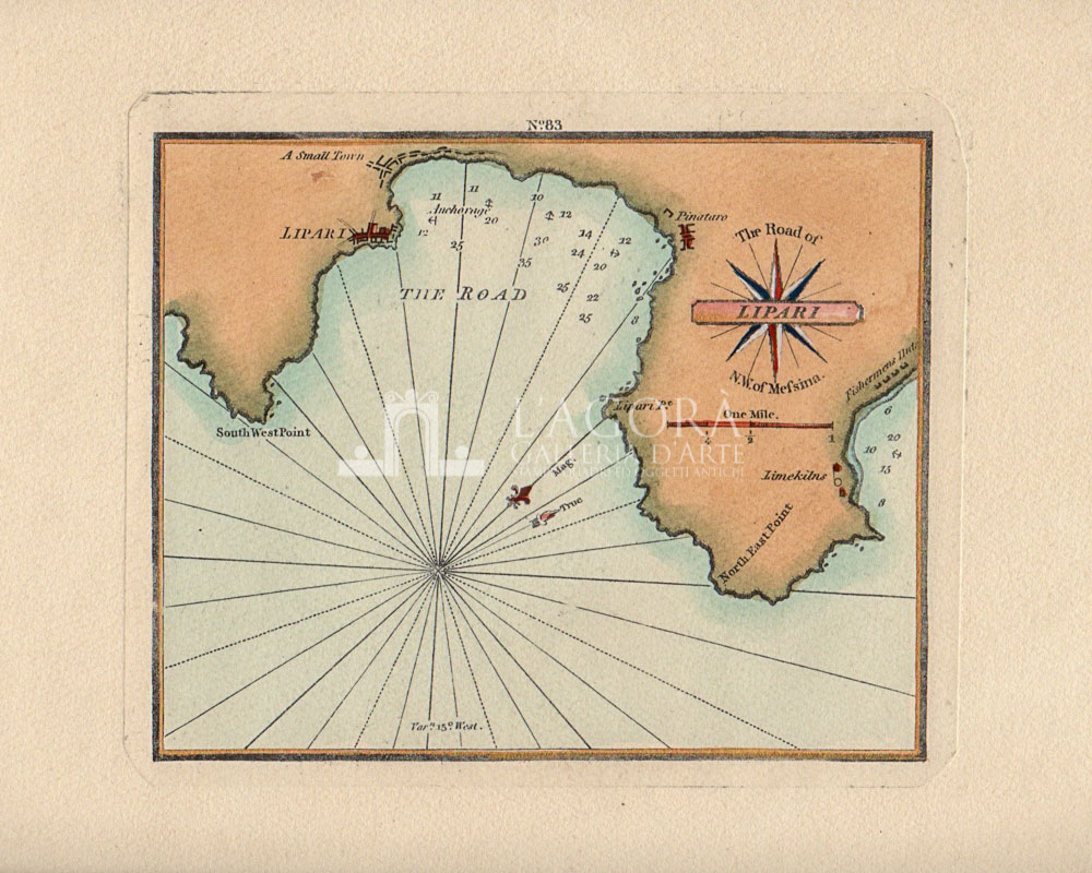
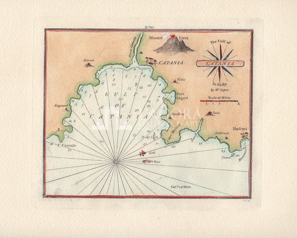
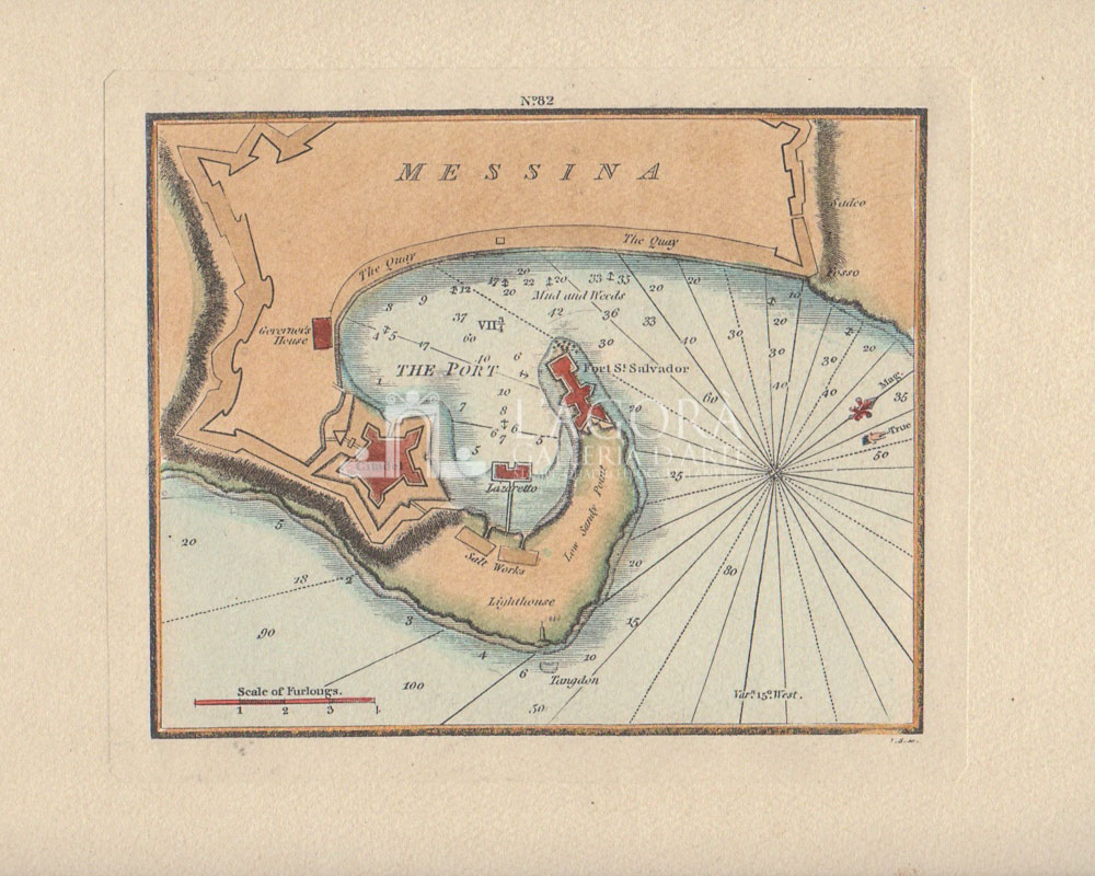
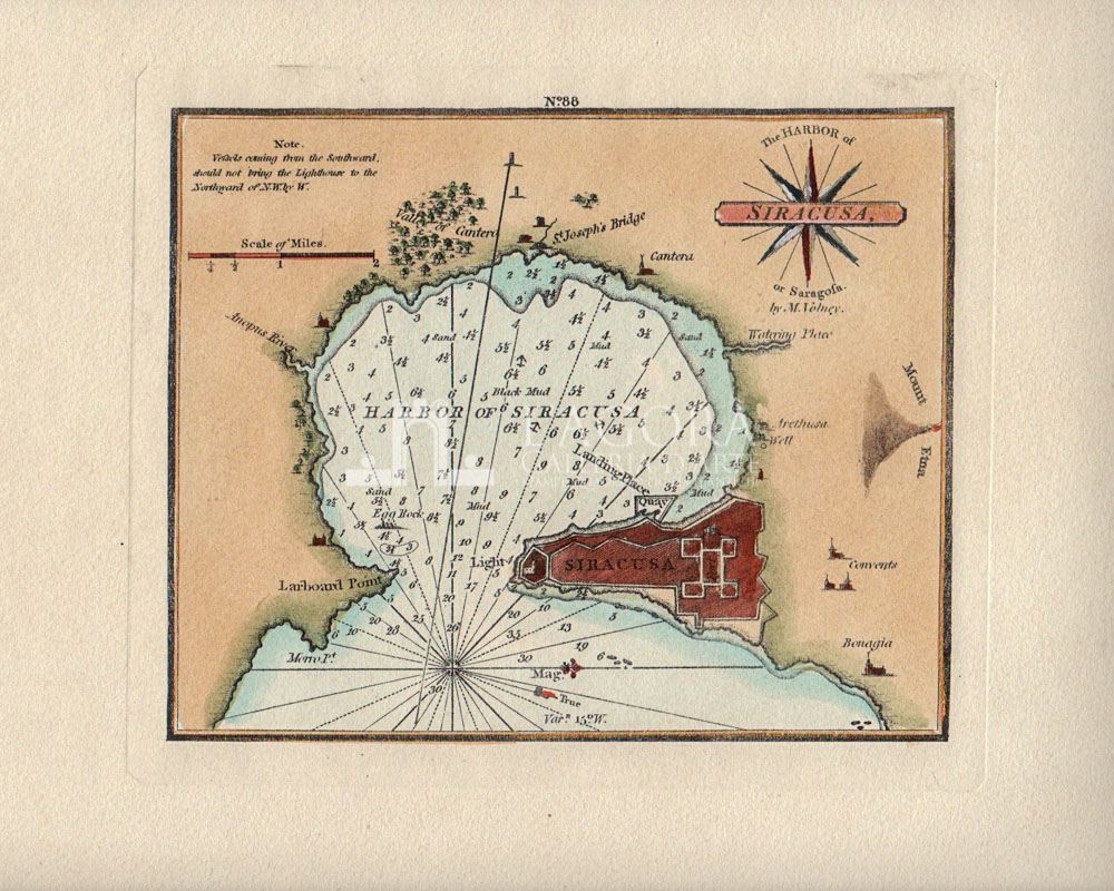
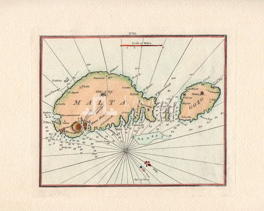
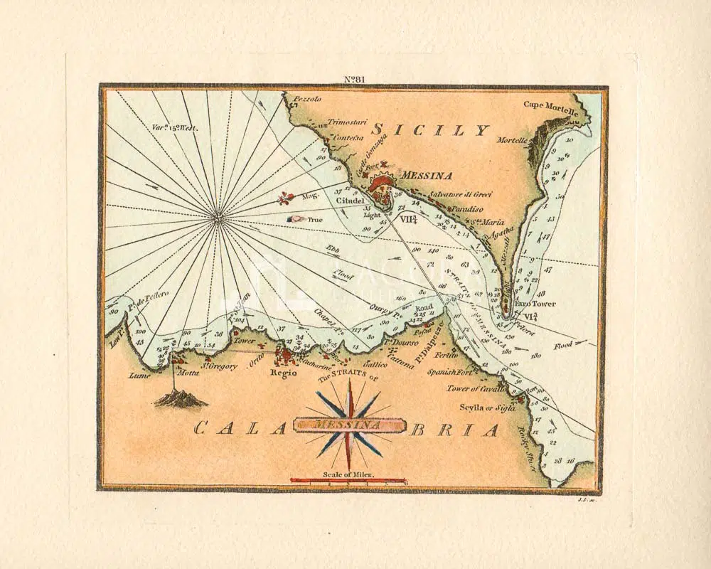
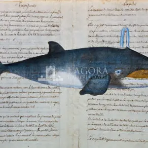
Artisanal reproductions of 18th century nautical charts with sailing directions to approach Mediterranean ports. A unique depiction of places as seen through the eye of a sailor, noting the depths of seabeds and landmarks on the mainland. Small prints blending reality and myth.
Author: Artisan
Year: New
Size: L 38 x H 28 cm / L 14.96 x H 11.02 in
Technique: Print and watercolour by hand on cotton paper
Get in touch for more information
Contattaci
Shipping
Shipping times take between 5 and 7 working days. If the product is out of stock, it will take between 20 and 30 days.
Free shipping for purchases of at least €300
Read more
Right of withdrawal
The private buyer who buys a good online or at a distance can return it and get a refund of the amount paid, exercising the right of withdrawal within fourteen days of delivery and/or receipt of the goods.
Read more
SKU
(srm-c-020) Portolani
Categories Artisanal Reproductions, Artisanal Reproductions - Maps
Tags Catania, Lipari, Malta, Mediterranean Sea, messina, palermo, Portolani, stretto di messina, Syracuse, trapani

